
Thank you for supporting this site ❤️
Make a donation
Make a donation
Cass Lake topographic map
Click on the map to display elevation.
Thank you for supporting this site ❤️
Make a donation
Make a donation
About this map
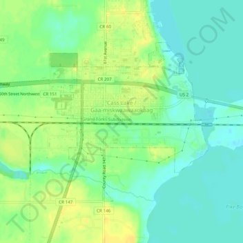
Name: Cass Lake topographic map, elevation, terrain.
Location: Cass Lake, Cass County, Minnesota, United States (47.36665 -94.61842 47.38798 -94.57031)
Average elevation: 402 m
Minimum elevation: 392 m
Maximum elevation: 414 m
Thank you for supporting this site ❤️
Make a donation
Make a donation