
Thank you for supporting this site ❤️
Make a donation
Make a donation
Llandovery topographic map
Click on the map to display elevation.
Thank you for supporting this site ❤️
Make a donation
Make a donation
About this map
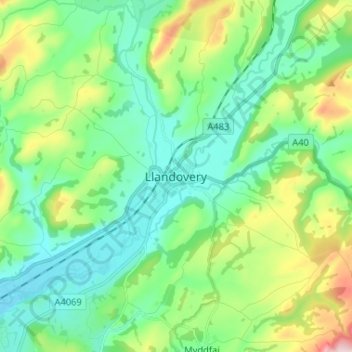
Name: Llandovery topographic map, elevation, terrain.
Location: Llandovery, Carmarthenshire, Wales, SA20 0JP, United Kingdom (51.95546 -3.83771 52.03546 -3.75771)
Average elevation: 145 m
Minimum elevation: 48 m
Maximum elevation: 414 m
Thank you for supporting this site ❤️
Make a donation
Make a donation