
Thank you for supporting this site ❤️
Make a donation
Make a donation
Manchester topographic map
Click on the map to display elevation.
Thank you for supporting this site ❤️
Make a donation
Make a donation
About this map
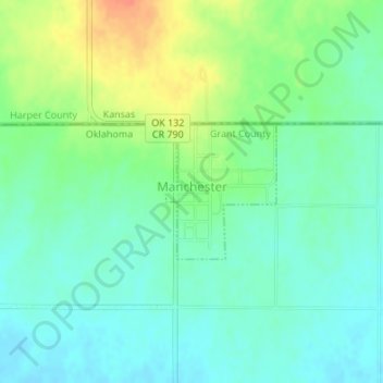
Name: Manchester topographic map, elevation, terrain.
Location: Manchester, Grant County, Oklahoma, United States (36.98880 -98.03991 36.99837 -98.03012)
Average elevation: 390 m
Minimum elevation: 374 m
Maximum elevation: 420 m
Thank you for supporting this site ❤️
Make a donation
Make a donation