
Sechshelden topographic map
Interactive map
Click on the map to display elevation.
About this map
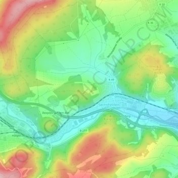
Name: Sechshelden topographic map, elevation, terrain.
Location: Sechshelden, Haiger, Lahn-Dill-Kreis, Hessen, Deutschland (50.73197 8.22046 50.76781 8.26660)
Average elevation: 312 m
Minimum elevation: 233 m
Maximum elevation: 431 m
Other topographic maps
Click on a map to view its topography, its elevation and its terrain.
Haigerbach
Deutschland > Hessen > Lahn-Dill-Kreis > Haiger > Allendorf
Haigerbach, Haiger, Allendorf, Lahn-Dill-Kreis, Hessen, 35708, Deutschland
Average elevation: 336 m