
Thank you for supporting this site ❤️
Make a donation
Make a donation
San Andres topographic map
Click on the map to display elevation.
Thank you for supporting this site ❤️
Make a donation
Make a donation
About this map
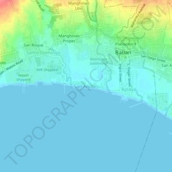
Name: San Andres topographic map, elevation, terrain.
Location: San Andres, Bauan, Batangas, Calabarzon, 4201, Philippines (13.76254 120.97848 13.80254 121.01848)
Average elevation: 12 m
Minimum elevation: 0 m
Maximum elevation: 66 m
Thank you for supporting this site ❤️
Make a donation
Make a donation