
Thank you for supporting this site ❤️
Make a donation
Make a donation
Puthanathani topographic map
Click on the map to display elevation.
Thank you for supporting this site ❤️
Make a donation
Make a donation
About this map
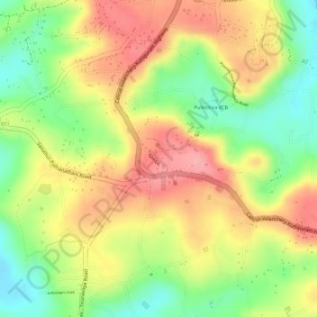
Name: Puthanathani topographic map, elevation, terrain.
Location: Puthanathani, Tirur, Malappuram, Kerala, India (10.92638 75.99350 10.94567 76.01609)
Average elevation: 81 m
Minimum elevation: 20 m
Maximum elevation: 131 m
Thank you for supporting this site ❤️
Make a donation
Make a donation