
Thank you for supporting this site ❤️
Make a donation
Make a donation
Beggs topographic map
Click on the map to display elevation.
Thank you for supporting this site ❤️
Make a donation
Make a donation
About this map
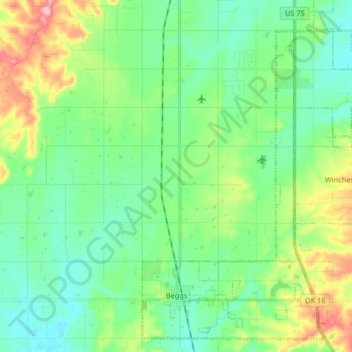
Name: Beggs topographic map, elevation, terrain.
Location: Beggs, Okmulgee County, Oklahoma, 74221, United States (35.72585 -96.08675 35.84937 -95.92322)
Average elevation: 238 m
Minimum elevation: 203 m
Maximum elevation: 327 m
Thank you for supporting this site ❤️
Make a donation
Make a donation
Other topographic maps
Click on a map to view its topography, its elevation and its terrain.