
Labrador topographic map
Click on the map to display elevation.
About this map
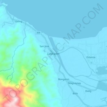
Name: Labrador topographic map, elevation, terrain.
Location: Labrador, Pangasinan, Ilocos Region, 2402, Philippines (15.98553 120.10534 16.06553 120.18534)
Average elevation: 73 m
Minimum elevation: -2 m
Maximum elevation: 760 m