
Horseshoe Lake topographic map
Interactive map
Click on the map to display elevation.
About this map
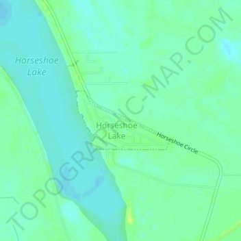
Name: Horseshoe Lake topographic map, elevation, terrain.
Location: Horseshoe Lake, Crittenden County, Arkansas, USA (34.91131 -90.31344 34.91789 -90.30050)
Average elevation: 62 m
Minimum elevation: 56 m
Maximum elevation: 71 m