
Gendringen topographic map
Interactive map
Click on the map to display elevation.
About this map
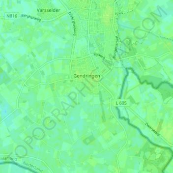
Name: Gendringen topographic map, elevation, terrain.
Location: Gendringen, Oude IJsselstreek, Gelderland, Netherlands (51.85315 6.32271 51.88578 6.39118)
Average elevation: 16 m
Minimum elevation: 11 m
Maximum elevation: 20 m
Other topographic maps
Click on a map to view its topography, its elevation and its terrain.