
Mesquite topographic map
Interactive map
Click on the map to display elevation.
About this map
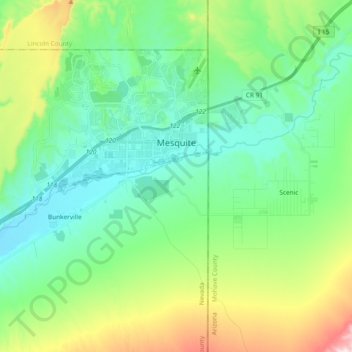
Name: Mesquite topographic map, elevation, terrain.
Location: Mesquite, Clark County, Nevada, United States of America (36.73912 -114.23975 36.84339 -114.04991)
Average elevation: 601 m
Minimum elevation: 453 m
Maximum elevation: 993 m