
Thank you for supporting this site ❤️
Make a donation
Make a donation
Irrigosa topographic map
Click on the map to display elevation.
Thank you for supporting this site ❤️
Make a donation
Make a donation
About this map
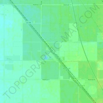
Name: Irrigosa topographic map, elevation, terrain.
Location: Irrigosa, Madera County, California, United States (36.87106 -120.00738 36.91106 -119.96738)
Average elevation: 85 m
Minimum elevation: 79 m
Maximum elevation: 90 m
Thank you for supporting this site ❤️
Make a donation
Make a donation
Other topographic maps
Click on a map to view its topography, its elevation and its terrain.
Oakhurst
United States > California > Madera County
Oakhurst (formerly Fresno Flats) is a census-designated place (CDP) in Madera County, California, United States, 14 miles (23 km) south of the entrance to Yosemite National Park, in the foothills of the Sierra Nevada. At an elevation of 2,274 ft (693 m), Oakhurst is situated at the junction of Highway 41 and…
Average elevation: 837 m