
Nysted topographic map
Interactive map
Click on the map to display elevation.
About this map
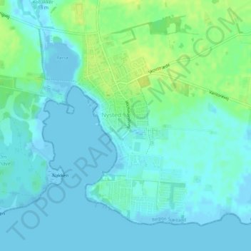
Name: Nysted topographic map, elevation, terrain.
Location: Nysted, Guldborgsund Kommune, Region Seeland, Dänemark (54.65157 11.72601 54.67161 11.74708)
Average elevation: 5 m
Minimum elevation: -5 m
Maximum elevation: 16 m