
Jacks Point topographic map
Click on the map to display elevation.
About this map
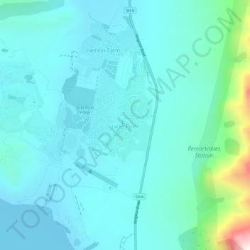
Name: Jacks Point topographic map, elevation, terrain.
Location: Jacks Point, Queenstown-Lakes District, Otago, New Zealand (-45.09598 168.73316 -45.05598 168.77316)
Average elevation: 459 m
Minimum elevation: 308 m
Maximum elevation: 1,361 m
New Zealand trails, hiking, mountain biking, running and outdoor activities