
Mayfield topographic map
Interactive map
Click on the map to display elevation.
About this map
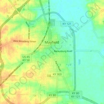
Name: Mayfield topographic map, elevation, terrain.
Location: Mayfield, Graves County, Kentucky, 42066, United States (36.71062 -88.67678 36.76236 -88.62081)
Average elevation: 145 m
Minimum elevation: 129 m
Maximum elevation: 166 m