
Datuin topographic map
Click on the map to display elevation.
About this map
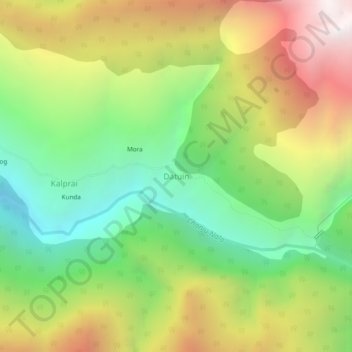
Name: Datuin topographic map, elevation, terrain.
Location: Datuin, Chaurah, Chamba District, Himachal Pradesh, India (32.68862 76.31081 32.72862 76.35081)
Average elevation: 2,713 m
Minimum elevation: 1,872 m
Maximum elevation: 3,825 m