
Kinondoni topographic map
Interactive map
Click on the map to display elevation.
About this map
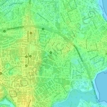
Name: Kinondoni topographic map, elevation, terrain.
Location: Kinondoni, Daressalam, Küstenzone, 14110, Tansania (-6.79103 39.26344 -6.77721 39.27966)
Average elevation: 12 m
Minimum elevation: 0 m
Maximum elevation: 21 m
Other topographic maps
Click on a map to view its topography, its elevation and its terrain.