
Thank you for supporting this site ❤️
Make a donation
Make a donation
Dunsandel topographic map
Click on the map to display elevation.
Thank you for supporting this site ❤️
Make a donation
Make a donation
About this map
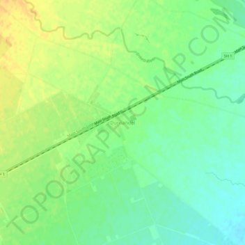
Name: Dunsandel topographic map, elevation, terrain.
Location: Dunsandel, Selwyn District, Canterbury, 7682, New Zealand (-43.68101 172.17708 -43.64101 172.21708)
Average elevation: 74 m
Minimum elevation: 60 m
Maximum elevation: 90 m
Selwyn District trails, hiking, mountain biking, running and outdoor activities
Thank you for supporting this site ❤️
Make a donation
Make a donation
Other topographic maps
Click on a map to view its topography, its elevation and its terrain.