
Buon Ma Thuot topographic map
Interactive map
Click on the map to display elevation.
About this map
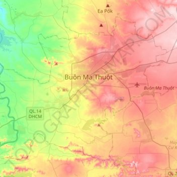
Name: Buon Ma Thuot topographic map, elevation, terrain.
Location: Buon Ma Thuot, Đăk Lăk Province, 63107, Vietnam (12.55310 107.89230 12.76986 108.16535)
Average elevation: 442 m
Minimum elevation: 236 m
Maximum elevation: 648 m