
Thank you for supporting this site ❤️
Make a donation
Make a donation
Goodland topographic map
Click on the map to display elevation.
Thank you for supporting this site ❤️
Make a donation
Make a donation
About this map
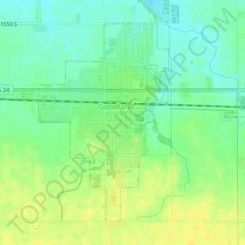
Name: Goodland topographic map, elevation, terrain.
Location: Goodland, Newton County, Indiana, United States (40.75110 -87.30594 40.77295 -87.28681)
Average elevation: 222 m
Minimum elevation: 211 m
Maximum elevation: 232 m
Thank you for supporting this site ❤️
Make a donation
Make a donation
Other topographic maps
Click on a map to view its topography, its elevation and its terrain.