
Dounreay topographic map
Interactive map
Click on the map to display elevation.
About this map
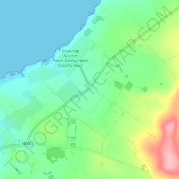
Name: Dounreay topographic map, elevation, terrain.
Location: Dounreay, Caithness, Schotland, KW14 7TY, Verenigd Koninkrijk (58.55331 -3.75372 58.59331 -3.71372)
Average elevation: 36 m
Minimum elevation: 0 m
Maximum elevation: 133 m