
Fort Simpson topographic map
Interactive map
Click on the map to display elevation.
About this map
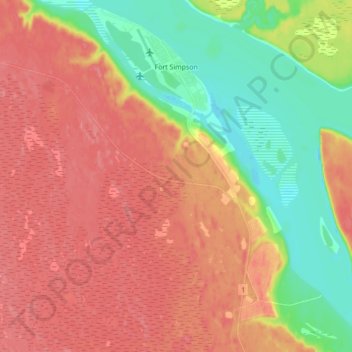
Name: Fort Simpson topographic map, elevation, terrain.
Location: Fort Simpson, Dehcho Region, Northwest Territories, Canada (61.79666 -121.40785 61.87865 -121.25370)
Average elevation: 155 m
Minimum elevation: 112 m
Maximum elevation: 188 m