
Thank you for supporting this site ❤️
Make a donation
Make a donation
Val Veny topographic map
Click on the map to display elevation.
Thank you for supporting this site ❤️
Make a donation
Make a donation
About this map
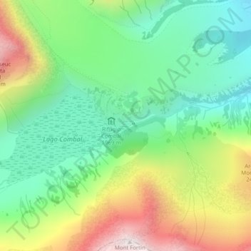
Name: Val Veny topographic map, elevation, terrain.
Location: Val Veny, Courmayeur, Aosta Valley, Italy (45.76587 6.85992 45.78587 6.87992)
Average elevation: 2,151 m
Minimum elevation: 1,801 m
Maximum elevation: 2,755 m
Thank you for supporting this site ❤️
Make a donation
Make a donation
Other topographic maps
Click on a map to view its topography, its elevation and its terrain.