
Kayaga topographic map
Click on the map to display elevation.
About this map
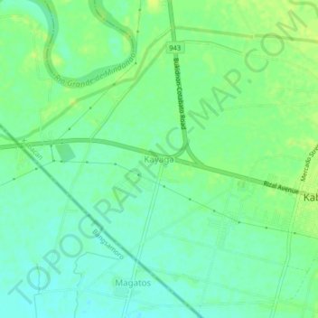
Name: Kayaga topographic map, elevation, terrain.
Location: Kayaga, Kabacan, Cotabato, Soccsksargen, 9407, Philippines (7.09300 124.78245 7.13300 124.82245)
Average elevation: 19 m
Minimum elevation: 11 m
Maximum elevation: 26 m