Geolocate

Phu Nhuan District topographic map

Interactive map

Click on the map to display elevation.

Phu Nhuan District topographic map, elevation, terrain

Phu Nhuan District topographic map, elevation, terrain

About this map

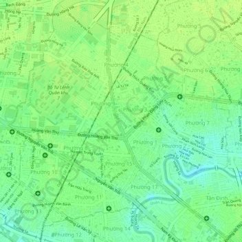
Name: Phu Nhuan District topographic map, elevation, terrain.

Location: Phu Nhuan District, Ho Chi Minh City, Vietnam (10.78794 106.66596 10.81415 106.69248)

Average elevation: 11 m

Minimum elevation: 0 m

Maximum elevation: 16 m

Other topographic maps

Click on a map to view its topography, its elevation and its terrain.

Can Gio District

Vietnam > Ho Chi Minh City

Average elevation: 2 m

Ho Chi Minh City

Vietnam > Ho Chi Minh City > Ho Chi Minh City

Ho Chi Minh City is located in the south-eastern region of Vietnam, 1,760 km (1,090 mi) south of Hanoi. The average elevation is 5 m (16 ft) above sea level for the city center and 16 m (52 ft) for the suburb areas. It borders Tây Ninh Province and Bình Dương Province to the north, Đồng Nai Province and…

Average elevation: 6 m