
Okmulgee County topographic map
Interactive map
Click on the map to display elevation.
About this map
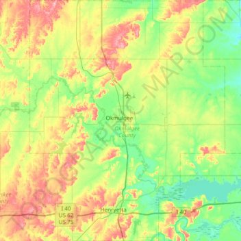
Name: Okmulgee County topographic map, elevation, terrain.
Location: Okmulgee County, Oklahoma, United States (35.37669 -96.19273 35.85709 -95.71259)
Average elevation: 224 m
Minimum elevation: 172 m
Maximum elevation: 326 m
Other topographic maps
Click on a map to view its topography, its elevation and its terrain.