
Reichraming topographic map
Interactive map
Click on the map to display elevation.
About this map
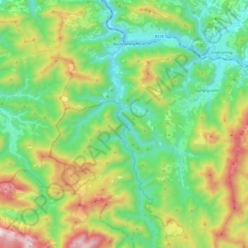
Name: Reichraming topographic map, elevation, terrain.
Location: Reichraming, Bezirk Steyr-Land, Upper Austria, 4462, Austria (47.76535 14.39144 47.91829 14.53170)
Average elevation: 800 m
Minimum elevation: 346 m
Maximum elevation: 1,776 m