
Estación La Floresta topographic map
Interactive map
Click on the map to display elevation.
About this map
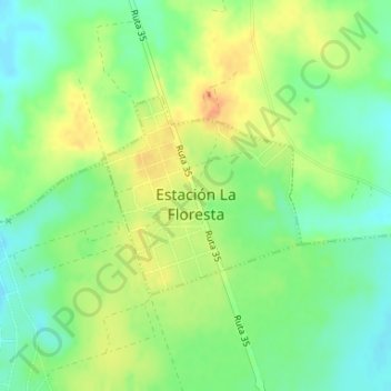
Name: Estación La Floresta topographic map, elevation, terrain.
Location: Estación La Floresta, Canelones, 15300, Uruguay (-34.74098 -55.69154 -34.72723 -55.67501)
Average elevation: 23 m
Minimum elevation: 4 m
Maximum elevation: 44 m