
Thank you for supporting this site ❤️
Make a donation
Make a donation
De Weijer topographic map
Click on the map to display elevation.
Thank you for supporting this site ❤️
Make a donation
Make a donation
About this map
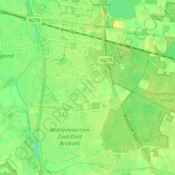
Name: De Weijer topographic map, elevation, terrain.
Location: De Weijer, Helmond, Noord-Brabant, Nederland, 5704 CR, Nederland (51.43723 5.69074 51.47723 5.73074)
Average elevation: 22 m
Minimum elevation: 10 m
Maximum elevation: 30 m
Thank you for supporting this site ❤️
Make a donation
Make a donation