
Thank you for supporting this site ❤️
Make a donation
Make a donation
Palcas topographic map
Click on the map to display elevation.
Thank you for supporting this site ❤️
Make a donation
Make a donation
About this map
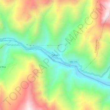
Name: Palcas topographic map, elevation, terrain.
Location: Palcas, Ccochaccasa, Angaraes, Huancavelica, Perú (-13.00018 -74.84169 -12.96018 -74.80169)
Average elevation: 3,814 m
Minimum elevation: 3,424 m
Maximum elevation: 4,351 m
Thank you for supporting this site ❤️
Make a donation
Make a donation