
Amberly topographic map
Click on the map to display elevation.
About this map
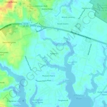
Name: Amberly topographic map, elevation, terrain.
Location: Amberly, Anne Arundel County, Maryland, 21409, United States (38.99678 -76.46135 39.03678 -76.42135)
Average elevation: 8 m
Minimum elevation: -2 m
Maximum elevation: 39 m
Other topographic maps
Click on a map to view its topography, its elevation and its terrain.