
The Villages topographic map
Interactive map
Click on the map to display elevation.
About this map
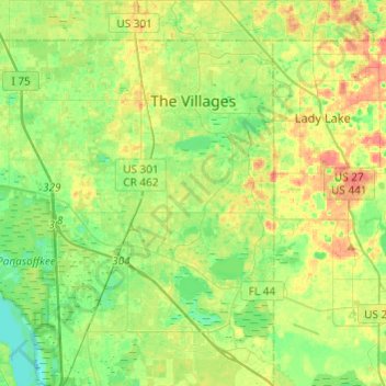
Name: The Villages topographic map, elevation, terrain.
Location: The Villages, Sumter County, Florida, United States (28.76987 -82.04593 28.98190 -81.92878)
Average elevation: 25 m
Minimum elevation: 4 m
Maximum elevation: 54 m