
Orio al Serio topographic map
Interactive map
Click on the map to display elevation.
About this map
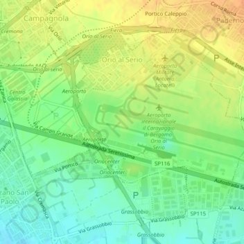
Name: Orio al Serio topographic map, elevation, terrain.
Location: Orio al Serio, Bergamo, Lombardei, Italien (45.65900 9.67855 45.67958 9.71269)
Average elevation: 238 m
Minimum elevation: 221 m
Maximum elevation: 254 m
Other topographic maps
Click on a map to view its topography, its elevation and its terrain.