
Schönheide topographic map
Interactive map
Click on the map to display elevation.
About this map
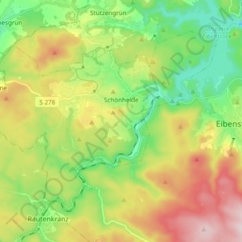
Name: Schönheide topographic map, elevation, terrain.
Location: Schönheide, Erzgebirgskreis, Saxony, 08304, Germany (50.46495 12.45578 50.52728 12.58777)
Average elevation: 670 m
Minimum elevation: 495 m
Maximum elevation: 938 m