
São José do Rio Preto topographic map
Interactive map
Click on the map to display elevation.
About this map
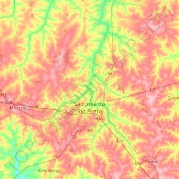
Name: São José do Rio Preto topographic map, elevation, terrain.
Average elevation: 527 m
Minimum elevation: 430 m
Maximum elevation: 602 m
The city is located on the region between the rivers Grande, Paraná and Tietê. The Vegetation is a mixture of Cerrado (Grass savanna) with traces of the Mata Atlântica (Atlantic Forest). The topography is formed by a slightly undulated relief, with a medium elevation of 489 m (1,604 ft).