
Landerneau topographic map
Interactive map
Click on the map to display elevation.
About this map
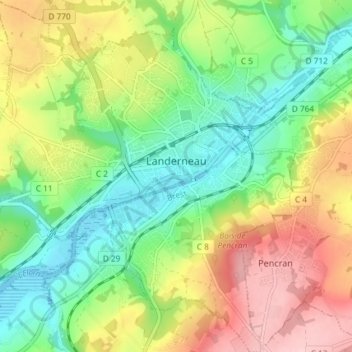
Name: Landerneau topographic map, elevation, terrain.
Average elevation: 74 m
Minimum elevation: -3 m
Maximum elevation: 181 m
Other topographic maps
Click on a map to view its topography, its elevation and its terrain.
Bretagne
France > Bretagne > Landerneau > Loudéac
Bretagne, Vieille Route de Saint-Urbain, Kerdoué, Landerneau, Brest, Finistère, Bretagne, France métropolitaine, 29800, France
Average elevation: 50 m