
Thank you for supporting this site ❤️
Make a donation
Make a donation
Eagle Point topographic map
Click on the map to display elevation.
Thank you for supporting this site ❤️
Make a donation
Make a donation
About this map
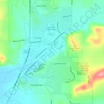
Name: Eagle Point topographic map, elevation, terrain.
Location: Eagle Point, Jackson County, Oregon, 97524, United States (42.45095 -122.81962 42.48706 -122.78228)
Average elevation: 422 m
Minimum elevation: 384 m
Maximum elevation: 533 m
Thank you for supporting this site ❤️
Make a donation
Make a donation