
Mitaka topographic map
Interactive map
Click on the map to display elevation.
About this map
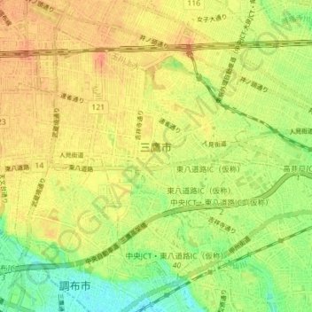
Name: Mitaka topographic map, elevation, terrain.
Location: Mitaka, Tokyo, Japan (35.66003 139.52447 35.70678 139.59418)
Average elevation: 54 m
Minimum elevation: 32 m
Maximum elevation: 69 m