
Matangi topographic map
Interactive map
Click on the map to display elevation.
About this map
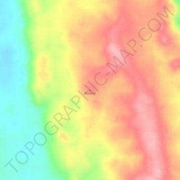
Name: Matangi topographic map, elevation, terrain.
Location: Matangi, Niari Department, Congo-Brazzaville (-3.83901 12.42765 -3.83891 12.42775)
Average elevation: 241 m
Minimum elevation: 158 m
Maximum elevation: 296 m