
Thank you for supporting this site ❤️
Make a donation
Make a donation
Fonte Coberta topographic map
Click on the map to display elevation.
Thank you for supporting this site ❤️
Make a donation
Make a donation
About this map
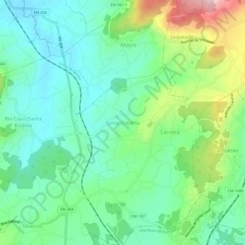
Name: Fonte Coberta topographic map, elevation, terrain.
Location: Fonte Coberta, Barcelos, Braga, 4775-096, Portugal (41.46866 -8.57647 41.50866 -8.53647)
Average elevation: 117 m
Minimum elevation: 35 m
Maximum elevation: 315 m
Thank you for supporting this site ❤️
Make a donation
Make a donation
Other topographic maps
Click on a map to view its topography, its elevation and its terrain.
Thank you for supporting this site ❤️
Make a donation
Make a donation