
Lake Mapourika topographic map
Interactive map
Click on the map to display elevation.
About this map
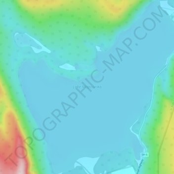
Name: Lake Mapourika topographic map, elevation, terrain.
Average elevation: 139 m
Minimum elevation: 78 m
Maximum elevation: 457 m
Other topographic maps
Click on a map to view its topography, its elevation and its terrain.
Lake Wahapo
Lake Wahapo, Franz Josef Highway, The Forks, Westland District, West Coast, New Zealand
Average elevation: 93 m