
Thank you for supporting this site ❤️
Make a donation
Make a donation
Waitahuna Hill topographic map
Click on the map to display elevation.
Thank you for supporting this site ❤️
Make a donation
Make a donation
About this map
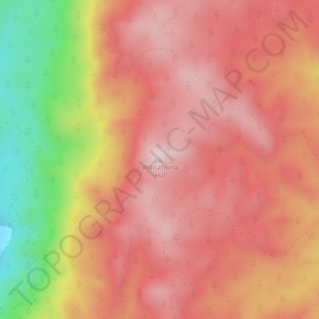
Name: Waitahuna Hill topographic map, elevation, terrain.
Location: Waitahuna Hill, Clutha District, Otago, New Zealand (-45.91719 169.90958 -45.91709 169.90968)
Average elevation: 537 m
Minimum elevation: 269 m
Maximum elevation: 677 m
Clutha District trails, hiking, mountain biking, running and outdoor activities
Thank you for supporting this site ❤️
Make a donation
Make a donation
Other topographic maps
Click on a map to view its topography, its elevation and its terrain.