
Pondel topographic map
Interactive map
Click on the map to display elevation.
About this map
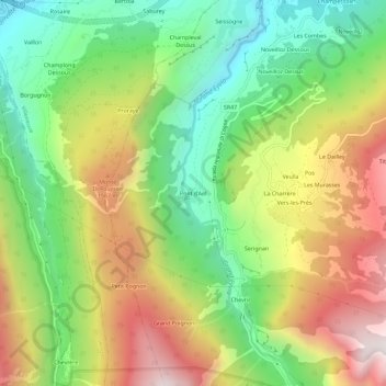
Name: Pondel topographic map, elevation, terrain.
Location: Pondel, Valle d'Aosta, 11018, Italië (45.65721 7.20300 45.69721 7.24300)
Average elevation: 1,219 m
Minimum elevation: 672 m
Maximum elevation: 1,937 m