
Thank you for supporting this site ❤️
Make a donation
Make a donation
Colon topographic map
Click on the map to display elevation.
Thank you for supporting this site ❤️
Make a donation
Make a donation
About this map
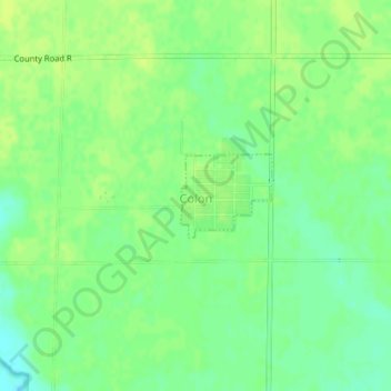
Name: Colon topographic map, elevation, terrain.
Location: Colon, Saunders County, Nebraska, United States (41.29473 -96.61091 41.30050 -96.60249)
Average elevation: 380 m
Minimum elevation: 371 m
Maximum elevation: 385 m
Thank you for supporting this site ❤️
Make a donation
Make a donation