
Thank you for supporting this site ❤️
Make a donation
Make a donation
Kerk Avezaath topographic map
Click on the map to display elevation.
Thank you for supporting this site ❤️
Make a donation
Make a donation
About this map
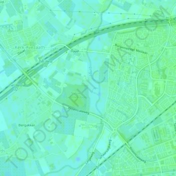
Name: Kerk Avezaath topographic map, elevation, terrain.
Location: Kerk Avezaath, Tiel, Gelderland, Nederland (51.88176 5.38311 51.89858 5.40124)
Average elevation: 6 m
Minimum elevation: 2 m
Maximum elevation: 9 m
Thank you for supporting this site ❤️
Make a donation
Make a donation
Other topographic maps
Click on a map to view its topography, its elevation and its terrain.