
Thank you for supporting this site ❤️
Make a donation
Make a donation
Charles County topographic map
Click on the map to display elevation.
Thank you for supporting this site ❤️
Make a donation
Make a donation
About this map
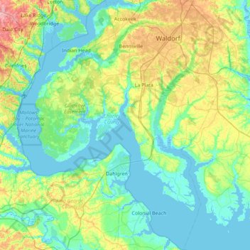
Name: Charles County topographic map, elevation, terrain.
Location: Charles County, Maryland, United States (38.17133 -77.32353 38.70727 -76.66248)
Average elevation: 27 m
Minimum elevation: -6 m
Maximum elevation: 119 m
Thank you for supporting this site ❤️
Make a donation
Make a donation