
Ubiergo topographic map
Interactive map
Click on the map to display elevation.
About this map
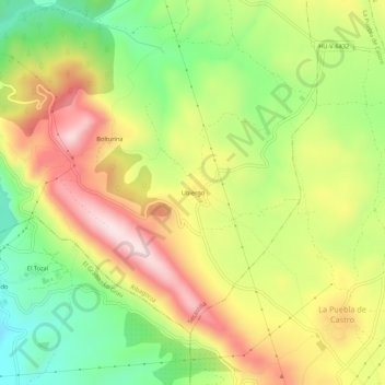
Name: Ubiergo topographic map, elevation, terrain.
Location: Ubiergo, Secastilla, Ribagorza, Huesca, Aragón, 22390, Spanje (42.13764 0.24635 42.17764 0.28635)
Average elevation: 578 m
Minimum elevation: 387 m
Maximum elevation: 785 m
Other topographic maps
Click on a map to view its topography, its elevation and its terrain.