
Stedman topographic map
Interactive map
Click on the map to display elevation.
About this map
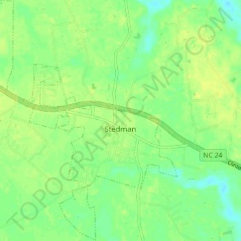
Name: Stedman topographic map, elevation, terrain.
Location: Stedman, Cumberland County, North Carolina, United States (34.99045 -78.72745 35.04010 -78.67952)
Average elevation: 39 m
Minimum elevation: 29 m
Maximum elevation: 46 m
Other topographic maps
Click on a map to view its topography, its elevation and its terrain.