
Thank you for supporting this site ❤️
Make a donation
Make a donation
New Cambria topographic map
Click on the map to display elevation.
Thank you for supporting this site ❤️
Make a donation
Make a donation
About this map
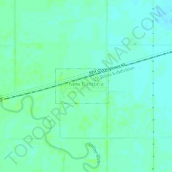
Name: New Cambria topographic map, elevation, terrain.
Location: New Cambria, Saline County, Kansas, United States (38.87608 -97.51206 38.88153 -97.50138)
Average elevation: 364 m
Minimum elevation: 360 m
Maximum elevation: 368 m
Thank you for supporting this site ❤️
Make a donation
Make a donation
Other topographic maps
Click on a map to view its topography, its elevation and its terrain.