
Le Roux topographic map
Interactive map
Click on the map to display elevation.
About this map
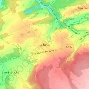
Name: Le Roux topographic map, elevation, terrain.
Location: Le Roux, Fosses-la-Ville, Namur, Wallonia, 5070, Belgium (50.36854 4.60378 50.40854 4.64378)
Average elevation: 186 m
Minimum elevation: 96 m
Maximum elevation: 254 m